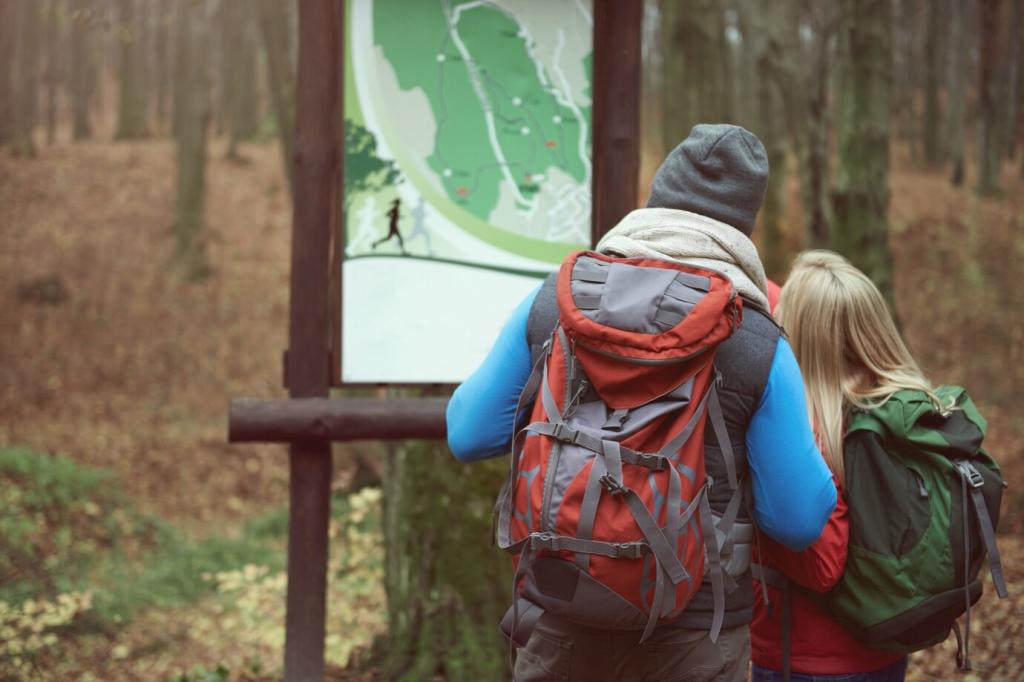
Study the Map: Terrain, Contours, and Hazards
Close lines whisper steep climbs; broad spacing signals reprieve. Ridges often make safer, drier travel than gullies after storms. I once misread a saddle and added two sweaty hours. Tell us your contour epiphany and help a beginner avoid the same mistake.
Study the Map: Terrain, Contours, and Hazards
Blend topographic maps for elevation, satellite imagery for vegetation and snow, and community data for trail conditions. Cross-check multiple sources to avoid outdated trails. Comment with your favorite map layer combination, and we’ll compile a community-approved toolkit for future readers.